Saba Island 3D Scans
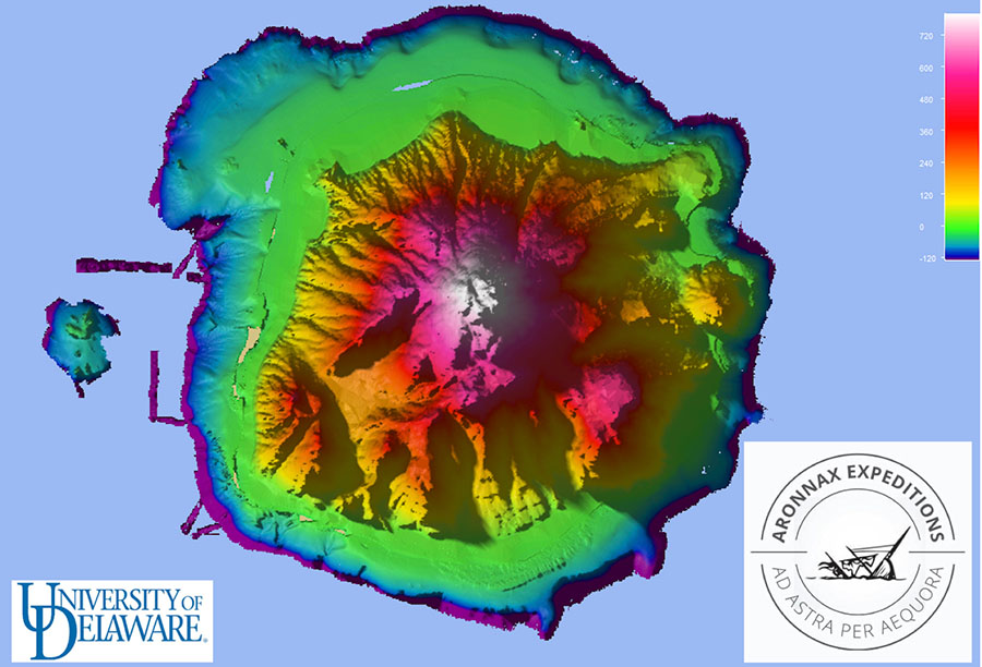
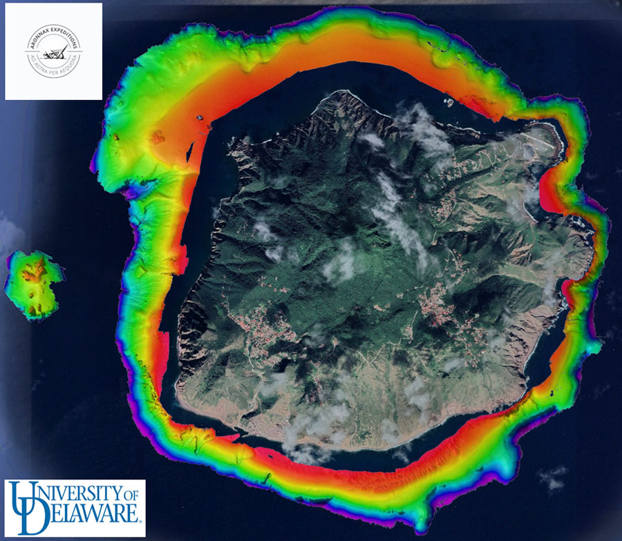
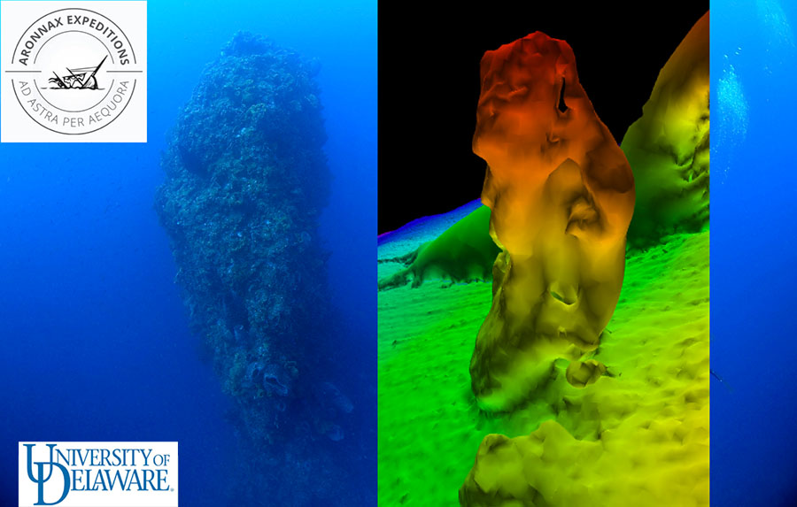
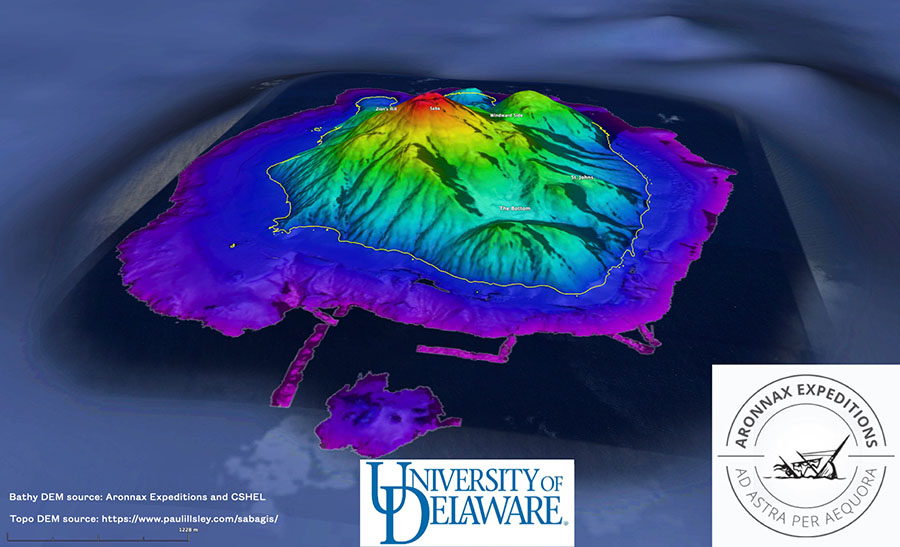
Aronnax Expeditions and the University of Delaware CSHEL Lab have completed the first ever detailed map of Saba Island in the Dutch Antilles. This complete circumnavigation of the volcanic island was done in about 10 days. The resolution level is mere centimeters.
The team combined multibeam, single beam and digital elevation data of Saba to create a single model for analysis and 3D printing.


Latest News
-
May 20, 2022 Saba Island 3D Scans
We have completed the first ever detailed map of Saba Island. -
May 2, 2022 Saba Mission Complete!
The team has successfully conducted a mapping survey of Saba Island. -
Apr 15, 2022 Saba Offshore Survey is about to kick off!
Our mission to survey the Saba Island coastline runs April 20th - May 2nd. -
Apr 15, 2022 Aronnax to use Wide Area Multibeam Sonar
We are searching for historic pirate vessels off the coast of Saba Island using cutting edge technology. -
Apr 14, 2022 The Aronnax website is live!
View current, past and future missions here on the website.