Aronnax to use Wide Area Multibeam Sonar to map the Saba coast
We are searching for historic pirate vessels off the coast of Saba Island. To accomplish this, we'll use some exciting technology.
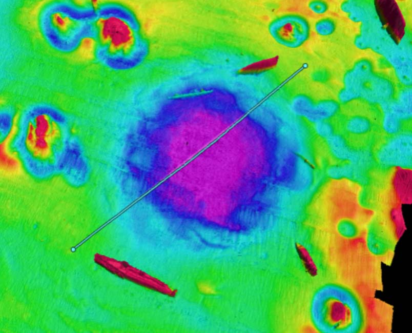
The primary wide area mapping instrument will be a 400 kHz Multibeam Echosounder (Norbi iWMBS) coupled with a high performance IMU and L1/L2 GPS system aided by WBAAS correction from MarineStar.
The overall system positioning accuracy will be approximately 10cm horizontal and vertical with sounding densities estimated to be ~50-100 soundings per m2. Final data products will include georeferenced XYZ point clouds, side-scan sonar raster mosaics (50cm/pixel), and gridded DEMs (100 cm/pixel).
Visit our Saba Offshore Survey mission page for more info.

Wide Area Survey Multibeam

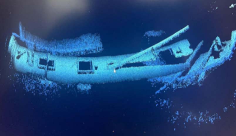
AUV Photogrammetry of Shipwreck

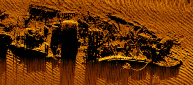
AUV High Resolution Side-Scan Sonar
Latest News
-
May 20, 2022 Saba Island 3D Scans
We have completed the first ever detailed map of Saba Island. -
May 2, 2022 Saba Mission Complete!
The team has successfully conducted a mapping survey of Saba Island. -
Apr 15, 2022 Saba Offshore Survey is about to kick off!
Our mission to survey the Saba Island coastline runs April 20th - May 2nd. -
Apr 15, 2022 Aronnax to use Wide Area Multibeam Sonar
We are searching for historic pirate vessels off the coast of Saba Island using cutting edge technology. -
Apr 14, 2022 The Aronnax website is live!
View current, past and future missions here on the website.